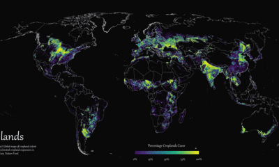

Where are the world's croplands located? This detailed map highlights the world’s cropland cover as of 2019.
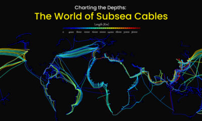

Hidden beneath the waves and sprawling along the ocean floor, subsea cables account for approximately 95% of international data transmitted.
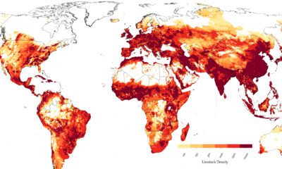

Where are various types of livestock concentrated globally? And how do regional habits influence animal husbandry?
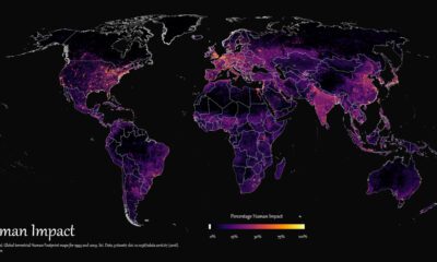

How far has humanity spread, and where haven't we gone? This graphic maps the extent of humanity’s impact on the world from 1993 to 2009.
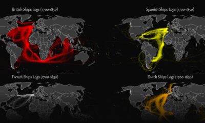

This map plots the colonial shipping lanes used by the British, the French, the Spanish, and the Dutch in the 18th and 19th centuries.
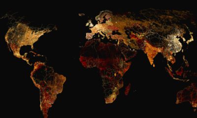

What does a road map of the world look like? Here’s a deep view of roads visualized by type across countries and continents.
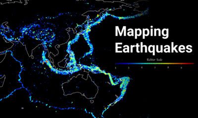

Where do the world's major earthquakes happen? This map highlights the epicenters of earthquakes on record between 1956 and 2022.
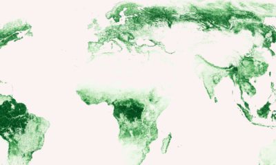

Where are the world's forests? These high-resolution maps show how the world’s carbon-sequestering forests are spread.
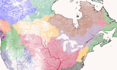

Where does each river start, converge, and end? This series of maps traces river basins in each continent around the world.
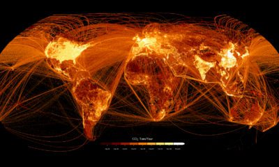

This graphic maps out carbon emissions around the world and where they come from, using data from the European Commission.